Notes
Bingo
Bingo Cards
Our "Travel Bingo" has evolved over time.
We went from a simple bingo cards to a multi-bingo card.
Each card has a starting city and a ending city.
You can make your own bingo cards here : https://bingobaker.com/
The shaded areas and Start/End header were added with Adobe Acrobat.

This is our current card as of 8/4/2024 - Bingo Cards - 8-4-2024.pdf
Bingos are archived by :
- Vertical, Horizontal, or Diagonal Lines
- Hitting all the shaded area (Pattern Bingo)
- Hitting all the squares (Full Card Bing)
Square List
Amish
Animals
Anti Solar/Wind Signs
Cannabis Store
Club / Lodge
Collapsing Barn/House
College
Child Sign
"Dollar" Store
Golf Course
Library
Masonic Temple
Police / Fire
Policitical Flags & Signs
Religious Signs
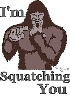
Sasquatch / Mothman
Satellite Dishes
State Park / Preserves
Solar Farms / Panels
Tracks w/o Signals
"Thin Line" Flags
VFW / American Legion
Unusual Street Signs
Windmills
Bingo Cards for 2025
https://bingobaker.com/view/8658106
Amish / Mennonite
American Legion / Club / Lodge / VFW
Anti Solar / Wind Signs
Body of Water (Any)
Bookstore / Library
Cannabis Store
Defunct Gas Station
"Dollar" Store
Golf Course
"Justice for" Signs
"Just Plain Weird"
Kitty / Doggy
Masonic Temple
Marathon / Sunoco Station
Incorrect Holiday Decorations
"Old Schoolhouse" / Train Depot
Political Flags & Signs
"Pure Michigan" Landmark / Sign
Sasquatch / Mothman
State / National - Park / Preserve
Solar Farms / Panels / Big Windmills
Spooky House / Obviously Haunted House
Theater / Dance Studio
Unique Street Signs
Bingo Cards (1) - 3-15-2025.pdf
Bingo Cards (2) - 3-15-2025.pdf
Counters
This is a list of things we tally and why :
- Bingo
- Just to track bingo from the Bingo Cards (See Bingo Cards)
- Just to track bingo from the Bingo Cards (See Bingo Cards)
- Stars - https://en.wikipedia.org/wiki/Barnstar
- We noticed these all over the place. People put them on their homes and barns for luck.
- Black Star
- Blue Star
- Green Star
- White Star
- Quilt Star
- Other Star
- We noticed these all over the place. People put them on their homes and barns for luck.
- Dollar Stores
- It is interesting the amount of "Dollar" stores that have sprung up. Most towns have at least one.
- Family Dollar
- Dollar General
- Dollar Tree
- Family Dollar
- It is interesting the amount of "Dollar" stores that have sprung up. Most towns have at least one.
- Windmills
- Because Windmills are cool
- Solar Farms / Panels
- Unlimited Power!!!!
- Sasquatch
- Because he is everywhere and he is watching you.
-

- Golf Courses
- Just something to track. They are plentiful.
- Just something to track. They are plentiful.
- Cannabis Stores
- Since these have become legal in many states, it is interesting to see how many of them cluster in a single town.
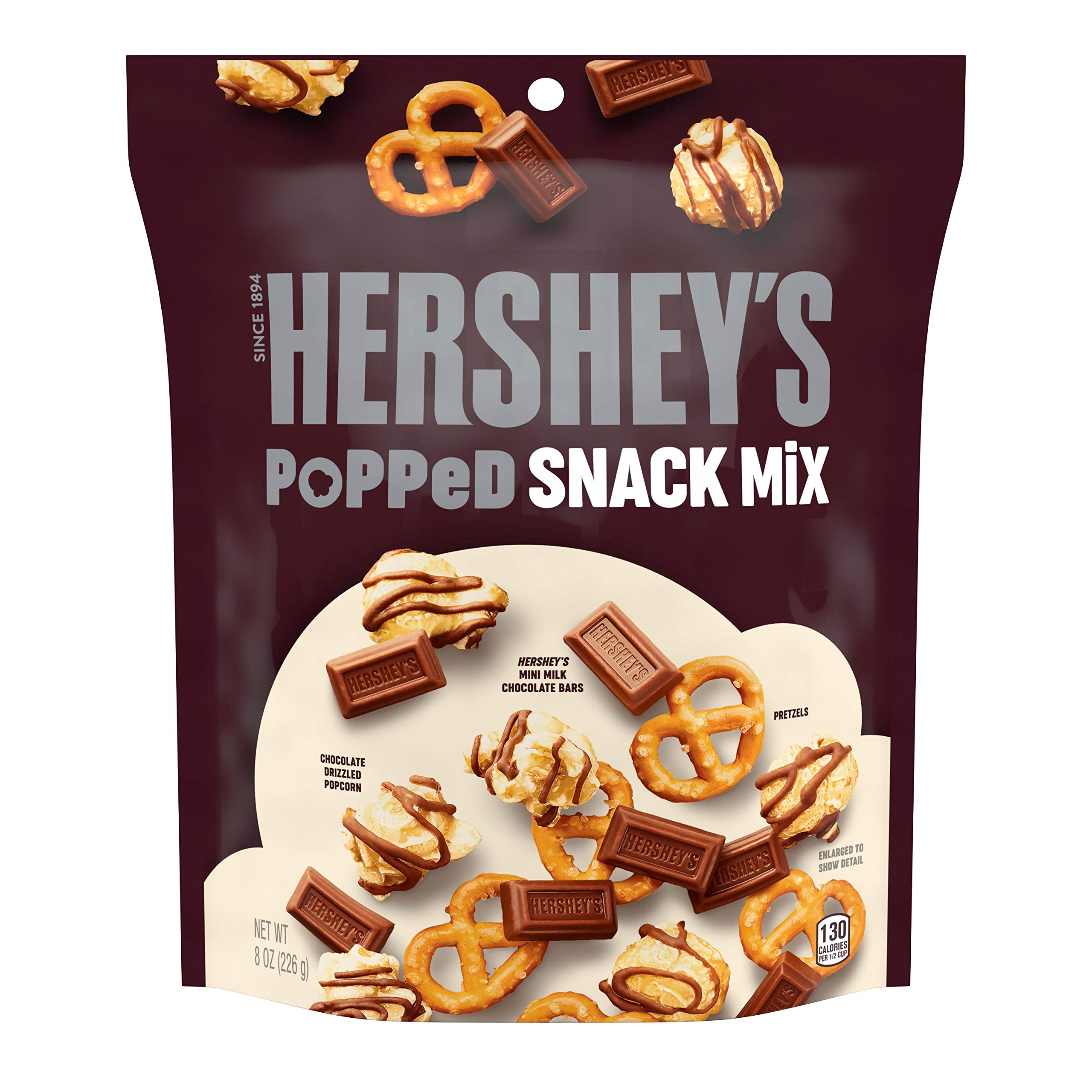
- Bridget's Mix
- This refers to the illusive "HERSHEY'S Milk Chocolate, Popcorn and Pretzel Popped Snack Mix Bag".
- They are a rare delicacy and when located, we horde them.
-

Equipment
Main Equipment
There are certain things we take with us on every trip.
Many of the items have been gathered and assembled over time
Most of them are here : https://www.amazon.com/hz/wishlist/ls/2SI0ID5QHDJKR?ref_=wl_share
They include :
- Travel bag with Sundries, Utilities, & Medications
- Binder for Logging - https://www.amazon.com/gp/product/B0CPHNVB9Q/
- Bingo Daubers - https://www.amazon.com/dp/B09M6SHDT4
- Kodak AZ425 Camera - https://www.amazon.com/dp/B06XHPXB59
- Camping Chairs
Weather Spotting

Recently, we received training in NWS's Skywarn program.
Skywarn spotters are tasked with reporting various kinds of hazardous weather to the National Weather Service.
In case we do encounter any hazardous weather, we carry the following :
- Anemometer (Wind & Temp) - https://www.amazon.com/gp/product/B07CWLNGQ1/
- Caliper (Hail) - https://www.amazon.com/gp/product/B07B49JHLX/
- Spotter's Reference Guide - Spotter Reference Guide 2024.pdf
- Notepad and Pen
We also have a weather monitor with an external sensor - https://www.amazon.com/gp/product/B0CJJKWRFC/
The sensor is mounted inside of the front bumper and measures Temperature, Humidity and Barometric Pressure. Temperature can be touchy since it is detecting it from the car and the road. While in motion, it is fairly accurate.
Navigation
Google has been very helpful with navigating our travels.
We have a custom Google Map we use as a virtual "Push Pin Map" of every place that we have been so far : https://www.google.com/maps/d/u/0/embed?mid=1GUlGp4S97MW3H8yPRD00rN5Dz17pOkw&ehbc=2E312F
You will notice that some places are marked as "No Entry". We don't really want to drive around busy cites because it is really hard to see things and it is time consuming. We will use them as a start and stop point, but not something to spend hours driving around.
We try to limit the amount of cities we visit to 10, which is a good round number.
Google Maps is great if you want to plot course. Example : https://maps.app.goo.gl/yjFSJASnLZPm9w8d9
Places to Go
These are places that we would like to eventually see :
- Arizona
- Tuscon
- California
- Yosemite National Park
- Hawaii
- Massachusetts
- Museum of Bad Art - https://museumofbadart.org/
- Salem
- Michigan
- Lakenenland - https://lakenenland.com/
- Lake Hudson Dark Sky Park
- Michigan Lighthouse Tour - https://www.wmta.org/lake-michigan-lighthouse-map-circle-tour/
- The Old Mill, in Dundee Michigan - https://dundeeoldmill.com/
- Cross Village - https://www.michigan.org/city/cross-village
- Nevada
- Vegas
- Ohio
- Cornhenge - https://www.atlasobscura.com/places/cornhenge
- Toledo Zoo - https://www.toledozoo.org/
- Kalahari Resorts - https://www.kalahariresorts.com/ohio/
- West Virigina
- Mothman Museum - http://www.mothmanmuseum.com/
- West Virginia Penitentiary
- Calhoun County Dark Sky Park
Tracking & Logging
There are several things we log and track when traveling. Mostly for our own interests.
- Animals
- Rivers & Lakes
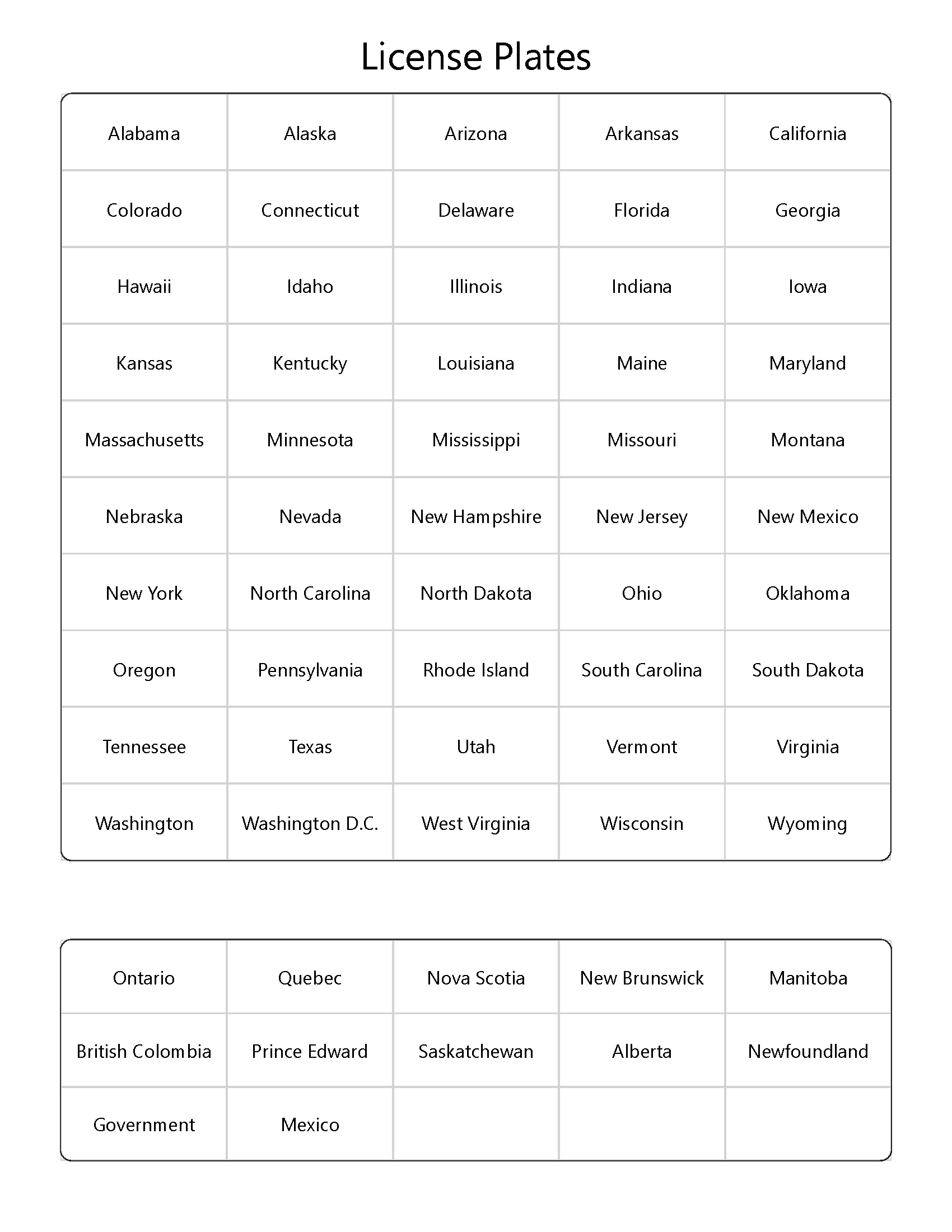
- Out of State / Country License Plates
- Michigan Plates
- Points of Interest
- Notable Mentions
- Casinos
- Food Places
- Big Boys
- Unfortunately. they are vanishing, so we like to log where functional ones still are.
- Ponderosa
- Steak and All you can eat Buffet!
- Big Boys
- Book Stores
- We love books
- Geological Stores
- Haunted Places
- Lighthouses
- Dark Sky Parks
- Notable Mentions